
Ponte Dell'olio: Lime Kilns, Castles and Trails in the Hills
Accommodation in Ponte Dell'olio
Ponte Dell'olio lies between the Nure River and the Riglio stream. The municipality's hilly landscape includes Monte Santo, which forms its highest point at 677 metres. This brings waterways, gentle elevations and a distinct regional character together – a setting for days when you want to combine culture with outdoor trails.
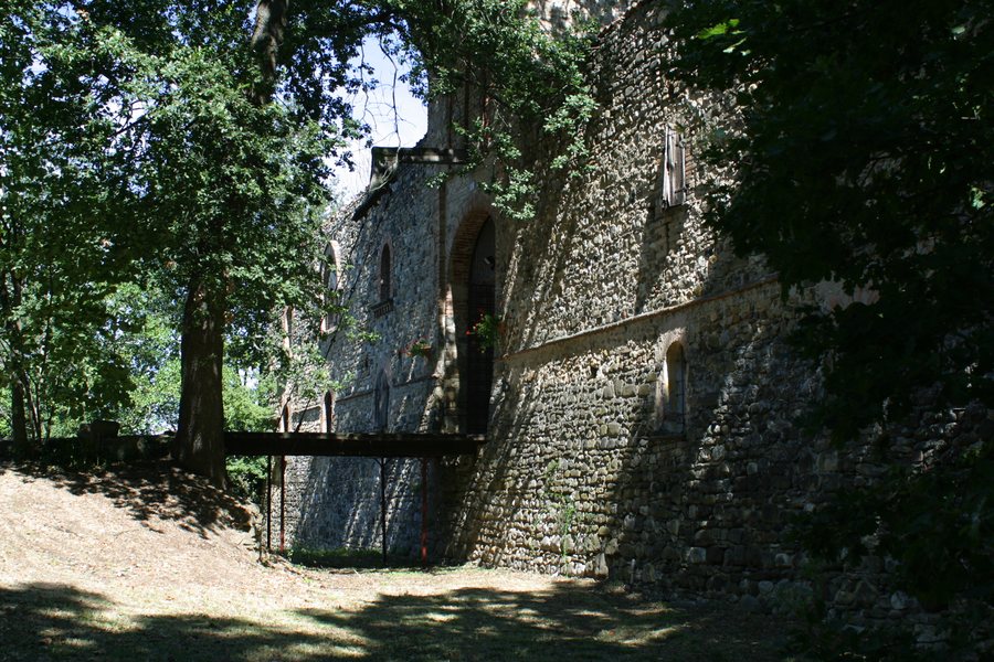 File:Ponte dell'Olio, Province of Piacenza, Italy - panoramio (1).jpg
Photo: Fabio Poggi via Wikimedia Commons, CC BY 3.0
File:Ponte dell'Olio, Province of Piacenza, Italy - panoramio (1).jpg
Photo: Fabio Poggi via Wikimedia Commons, CC BY 3.0
History and distinctive architecture
The history of the Fornaci di Ponte dell’Olio is particularly distinctive. The complex was built from 1890 onwards for the continuous production of building lime for the Calce Val Nure company. It has been owned by the municipality for more than a decade and now houses the three surviving kilns. The exterior is characterised by stone walls and metal reinforcing rings; there is also an insulating layer of sand and interior walls made of fire-resistant bricks. The stone walls and reinforcing rings are on the outside, the layer of sand provides insulation, and the fire-resistant bricks form the interior walls.
Castello di Riva was first mentioned in 1199; the present building dates from 1277. Its approximately equilateral triangular ground plan, square keep and loggia connecting the keep with a northern tower make its architectural form particularly distinctive.
The Chiesa di San Giacomo was rebuilt in 1272. At Castello di Folignano, a square ground plan and four round corner towers define the appearance. The four round corner towers are positioned at the four corners of the square ground plan. The castle is also part of the Emilia-Romagna region's Fattorie Didattiche project and has a laboratory as well as a tasting and learning room.
Cycling routes and outdoor trails
For active days, the municipality offers three mountain bike routes with downloadable maps and GPS tracks. Signs and arrows mark the routes. The information boards give the route name, distance, difficulty level and duration in each case; they also show a route map and the location of the respective sign. If you are planning around a fixed timeframe, you can first weigh up the distance, difficulty level and duration together, and then consult the map and GPS track for the specific route. Signs and arrows mark the routes on site, while the route map and the location of the respective sign provide additional orientation for the same route.
A network of trails described as the largest outdoor sports area begins in Ponte Dell'olio, with 560 kilometres of marked trails. These run through Ponte Dell'olio, Bettola, Farini and Ferriere and can be used on foot, on horseback or by mountain bike. The area is also part of the Strada dei Vini e dei Sapori dei Colli Piacentini route. When planning, the individual mountain bike routes and the trail network can therefore be considered separately. This allows physical activity and regional food and wine culture to be treated as different focuses of your planning, without requiring you to commit to a single type of trip.
Discover more places
If you would like to include more places in your travel plans, also discover Gragnano Trebbiense, Ferriere, Ottone, Larzano-castello, Cadeo, Travo, Casa Nuova and Croce.
For the broader travel overview: Piacenza.

.jpg)