
Carbona: Island History and Routes along the Tagliamento
Accommodation in Carbona
Carbona is a place whose character is closely connected with the Tagliamento. Around the 17th century, Carbona was established on an island formed by a fork in the Tagliamento. The place can therefore be explored through its river history and the routes associated with it.
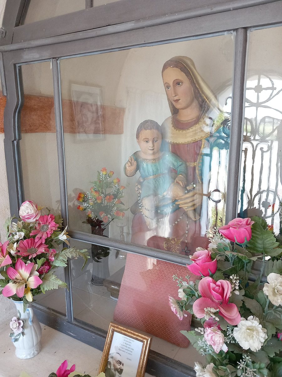 File:Capitello di Via Carbona (San Vito al Tagliamento) - Madonna col Bambino 2024.01.09.jpg
Photo: Frto via Wikimedia Commons, CC BY 4.0
File:Capitello di Via Carbona (San Vito al Tagliamento) - Madonna col Bambino 2024.01.09.jpg
Photo: Frto via Wikimedia Commons, CC BY 4.0
A Place Shaped by the Changing River
As the course of the Tagliamento changed repeatedly, Carbona was initially situated on the left bank, then became an island, and was eventually located on the right bank. Carbona’s history is closely linked to the river’s particular instability. In 1881, an embankment was built near Carbona to protect the settlement from the Tagliamento. The watercourse, settlement, and protective structure are therefore among the defining themes of the place.
The early orientation towards the river is also part of the local history: Carbona’s first simple houses became a reliable landmark for travelers wishing to cross the river. Carbona was also formerly known by the name Villabianchina. The historic place name points to an earlier designation, while the river location shapes the way Carbona is viewed today.
Cycling Routes between Carbona and the Tagliamento
The Saletto–Ponte della Regina route is 4,020 m long and is primarily used for sports and recreation; near Carbona, there are two separate sections of a cycle path. The “Il mondo rurale lungo il Tagliamento” route passes through Carbona. On this route, Via della Chiesetta leads to the embankment of the Tagliamento River.
The Oratorio di Sant’Antonio da Padova is also part of the network of routes: It is the fifth stop on the “Anello di Gleris” cycling loop. Together with the connections to the Tagliamento, this creates an image of Carbona in which cycling, the river landscape, and rural paths exist side by side, without every route necessarily having the same character.
Hiking and Historic Connections
During a FAI hike promoting biodiversity and slow travel, participants met at 9 a.m. at Carbona’s former school. They hiked along the Tagliamento in the Isola di Carbona on a moderately difficult route lasting approximately two hours. Comfortable clothing and suitable footwear were recommended.
The paths around Carbona also reach back into regional history. From the ford there, the road known as del Morti led to Saletto and Ramuscello. The historic Stradatta led from Sacile and Pordenone to the Benedictine hospice of Pieve di Rosa and onward to Codroipo and Aquileia. When choosing accommodation for your stay in Carbona, these river connections, historic routes, and cycling and hiking themes provide an objective framework for planning your personal trip.
Other Destinations for Orientation
Other destinations for orientation: Clauzetto, La Croce, Pasiano di Pordenone, Aviano, Andreis, Brugnera, Cordenons, San Vito Al Tagliamento.
For the higher-level travel overview: Pordenone.

_-_Madonna_col_Bambino_2024.01.09.jpg)