
San Pietro d'Olba – Rivers, Ferriera and Ancient Paths
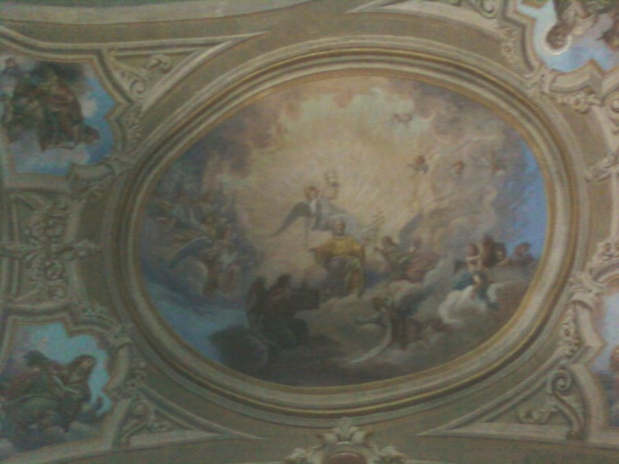 File:San Pietro d'Olba (Urbe)-chiesa san pietro-volta.jpg
Photo: Antonello Piccone at Italian Wikipedia via Wikimedia Commons, CC BY-SA 3.0
File:San Pietro d'Olba (Urbe)-chiesa san pietro-volta.jpg
Photo: Antonello Piccone at Italian Wikipedia via Wikimedia Commons, CC BY-SA 3.0
Rivers and Historic Paths
San Pietro d'Olba lies at the confluence of the Orbarina and the Orba. In the historic centre, the buildings are grouped around the Church of San Pietro. At the same time, the town is a hub of ancient paths that run along the two rivers to Passo del Faiallo and the Beigua Massif. This combination of a riverside setting, historic centre, and traditional paths gives you several concrete points of reference for finding your way: religious buildings, industrial history, distinctive rocks, and landscape connections do not appear separately, but together shape the image of San Pietro d'Olba.
Church, Oratory and Town Centre
The Church of San Pietro Apostolo and its rectory are protected immovable cultural assets. The Church of San Pietro also houses a valuable organ. The historic centre is grouped around this place of worship, making the church an important point of reference for understanding the town, without reducing San Pietro d'Olba to a single building.
The oratory of the Immaculate Virgin and the Holy Apostles James and Philip is also part of the religious heritage. It was built from 1721 to 1731 and restored in spring 1999. The two dates place the building both within the older history of the town and within its more recent conservation history.
Ferriera and Traces of Working History
The ancient Ferriera was already in operation in the 16th century. Several specific traces of its former use have survived: Two stone arches of the Ferriera are visible after their restoration and are in good condition. Part of the entrance to the Maglietto of the Ferriera remains, while the Maglio of the Ferriera has been preserved underground in its original location. In the Borgo della Ferriera, there is also a large stone bridge with three arches over the Orba. This means that the history of the town can be read not only through churches and chapels, but also through preserved elements of the Ferriera and their relationship with the river.
Rocks and Chapels Above the Town
Near the first houses of San Pietro lies the Pietra delle scodelle, a large, whale-back-shaped boulder with a series of engraved cup marks. The rectangular depressions are cautiously attributed to the same period as the comparable depressions at Bric della Langa, the chronological horizon of the Metal Ages. This cautious attribution preserves the special character of the find without turning the classification into a certainty.
The ancient Cappella della Montà stands above San Pietro d'Olba. It has a round shape. From the churchyard of the Cappella della Montà, you can overlook the Piazza, the Ferriera, and two bridges over the Orba. This view fans out the essential elements of the town: the centre, industrial history, river, and buildings appear as a cohesive landscape.
Paths and Geological Features
The “Dal Passo del Faiallo a San Pietro” route follows an ancient path to San Pietro. It thus complements the traditional route connection between the town, Passo del Faiallo, and the Beigua Massif with a clearly designated link. The surrounding area near Lago dell'Antenna is also interesting for your planning: Along the provincial road between Vara Inferiore and San Pietro d'Olba, outcrops of rodingites and eclogites in serpentinites can be observed over a length of approximately 500 metres. The approximate length is deliberately intended as a guide rather than an exact boundary.
Further town pages for planning your trip: Ellera, Borghetto Santo Spirito, Albissola Marina, Piani, Dogli, Altare, Andora and Tovo San Giacomo.
For the overarching travel overview: Savona.
Check prices, availability, and amenities for your travel dates directly on Booking.com.
View accommodation and offersAdvertisement · Affiliate link to Booking.com
-chiesa_san_pietro-volta.jpg)