
Luogosanto: Sacred Places, Granite Landscapes and History
Accommodation in Luogosanto
Between Granite and Gallura
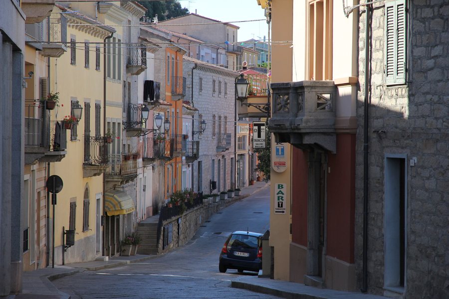
Luogosanto combines a diverse landscape with a strong religious and historical heritage. Rocky ridges meet short, wooded valleys, vineyards, Mediterranean maquis, holm oak forests and cork oak groves. This gives the area a character in which nature, rural tradition and sacred places stand closely side by side.
Landscape between Alta and Bassa Gallura
In the south, the Luogosanto area includes Alta Gallura, with elevations ranging from 300 to 700 metres above sea level. To the north lie the gentler hills of Bassa Gallura, at elevations of 100 to 300 metres. This creates a clear regional contrast for you: the south is characterised by higher, more deeply structured landscapes, while the north is distinguished by lower and softer hills. These differences provide a comprehensible landscape framework for walks, excursions and individual travel planning, without reducing Luogosanto to just one type of landscape.
Churches, Pilgrimage and Local History
The basilica's altar houses a wooden statue of the Madonna di Luogosanto. The Madonna is deeply venerated by the faithful in Gallura and is therefore crowned as the “Regina di Gallura”. Nostra Signora di Luogosanto is also associated with a building erected around 1218 by Franciscan friars who came to Gallura at the beginning of the 13th century.
The Festa Manna di Gaddura takes place every year on 8 September; the rites and celebrations continue until 15 September. Another special part of the religious heritage is the Porta Santa, which opens every seven years. The Eremo dei Santi Nicola e Trano includes the cave where, according to tradition, the saints' bodies were found.
The secular and medieval past is also present in the area. The Palazzo di Baldu is a medieval site dating from the 13th to the 15th century. The Eremo di San Trano was built from granite blocks and designed as a simple single-nave church. The Chiesa di San Leonardo dates back to the second half of the 12th century and was originally part of a monastic complex in Villa Cuga within the Judicate of Torres.
Archaeology and Museums
The intact and accessible Nuragic site of Capanna delle riunioni is located on the granite Monti Ghjuanni. Castello di Balajana occupied a strategic position from which a large part of the area, as well as the routes connecting the ports and the main cities of the Giudicato, could be monitored.
The Natività della Beata Vergine Maria Museum is housed in the former 13th-century Franciscan monastery. It displays precious jewellery donated by the faithful, 18th-century marble sculptures, the friars' old cells, traditional costumes, as well as other religious and ethnographic objects. The Agnana Museum documents the history of the Stazzi, the traditional rural settlements.
Planning Information
A free tourist map of Luogosanto is available in Italian and English. It contains a map of the area and the town, places of tourist interest, routes and services, photographs of important sites, as well as useful information, links and telephone numbers. The map is available from the municipal tourist office and can also be viewed digitally.
Route 3, “Dalla Basilica alle chiese di Balajana e Canaili”, passes through the landscapes of Balajana Alta and Canaili. It takes in seven rural churches as well as a church in the town, thereby connecting landscapes and sacred buildings.
Other Destinations in the Regional Context
Porto Cervo, Baia Sant'Anna, Greuli, Olbia, Conca Verde, Punta Molara, PORTO ROTONDO and Budoni
For the overview of the wider travel region: Olbia-Tempio.

.JPG)